|
 |
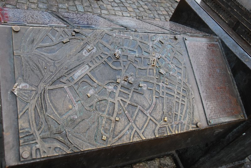
| Bruge021710-1591 | A model of the Belfry and raised map of the Bruges city center, built for the blind by the Kiwanis service club of Bruges. |
| Camera: NIKON D60 | Date: 2/17/10 5:27 AM | ISO: 200 | Exp. Mode: Program normal | Exp. bias: 0 EV | Exp. Time: 1/125s | Aperture: 5.6 | Focal Length: 24.0mm | White Balance: Auto white balance | Flash: No | Latitude: N 51°12'29.89" | Longitude: E 3°13'28.44" | Altitude: 18 metres | GPS time: 10:20:30 UTC | See map |
| Total images: 47 | Help |